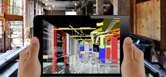
Laser has become a household term and being used in many day-to-day equipment. Now a new technology, LiDAR—is playing increased role in many applications. This article intents to provide a brief introduction to this new development and possible applications.
LiDAR, or light Detection and Ranging, is basically a remote sensing method used for measuring the exact distance of an object on the earth’s surface. Even though it was first used in the 1960s when laser scanners were mounted to aeroplanes, LiDAR didn’t get the popularity it deserved until twenty years later ie. during the 1980s after the introduction of GPS such that it became a popular method for calculating accurate geospatial measurements. Now its scope has spread across numerous fields.
LiDAR Technology
According to the American Geoscience Institute, LiDAR uses a pulsed laser to calculate an object’s variable distances from the earth surface. These....

